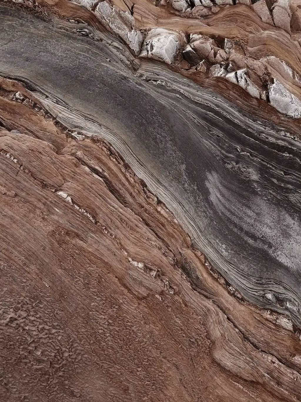
Kingsrose Mining and TerraEye launch a satellite program across Finnmark and Penikat.
Ahead of costly field campaigns in remote Nordic terrain, TerraEye's satellite spectral analysis will map exposed rock outcrops and define where Kingsrose's ground crews should go first.
Kingsrose Mining (ASX: KRM) and TerraEye have launched a remote sensing program across the Company's Finnmark Project in Northern Norway and Penikat Project in Finland — both highly prospective critical-mineral opportunities in the Nordic region.
To deploy its exploration capital wisely, Kingsrose chose to begin from orbit, with TerraEye analysing satellite data ahead of any ground campaign. The aim is to build a high-confidence picture of surface geology, so that the next, far costlier phase on the ground can be planned to be fast, focused and effective.
The challenge
Both projects lie in remote, high-latitude northern terrain where snow and ice cover the ground for much of the year, leaving only a short annual window for fieldwork. Across licence areas this large, mobilising and supporting ground teams is slow and expensive. Sending crews into the field without clearly defined targets risks spending much of a season's budget on low-value reconnaissance.
“Kingsrose is doing this in the right order — see both projects from orbit before committing crews to either. The hard part in the Nordics isn't reaching the ground, it's reading geology through the vegetation, snow and partial cover that's most of what these projects actually look like. That's exactly where the work earns its place: turning two large northern licences into a short, ranked list of places worth a crew's time, before a short and expensive season opens.”
Marek Wilgucki · CEO, TerraEye
The work
TerraEye will combine multispectral and hyperspectral satellite datasets — including Sentinel-2, ASTER and PRISMA — to identify exposed geological surfaces and map areas with spectral characteristics similar to known rock outcrops.
The analysis begins with advanced masking workflows designed to remove vegetation, snow and ice and isolate exposed ground suitable for geological interpretation. TerraEye will also generate a Sentinel-2 Bare Earth Composite using multiple years of satellite observations to maximise the detection of vegetation-free pixels across the project areas.
To further improve surface characterisation, TerraEye will apply Linear Spectral Unmixing to the hyperspectral datasets, reducing the influence of partial vegetation cover and enhancing the visibility of exposed geological features. Using reference outcrops selected by Kingsrose, TerraEye will then perform Spectral Similarity Analysis across both project areas to identify additional locations sharing comparable geological signatures.
TerraEye geologists will review the resulting Outcrop Maps and use them to recommend areas for future geological investigation and field validation.
TerraEye deliverables
Processed multispectral and hyperspectral datasets prepared for geological interpretation.
Outcrop Maps generated through Spectral Similarity Analysis.
Geological recommendations prepared by the TerraEye team, highlighting areas that warrant further investigation.
Looking ahead
By narrowing two large, hard-to-reach project areas down to a tightly defined set of high-confidence priority zones, the program lets Kingsrose commit its field budget only where it counts. The aim is a next phase of exploration that is faster, lower in cost and more likely to pay off — with the short northern field season spent on the ground that matters most, rather than on broad reconnaissance.
About Kingsrose Mining
Kingsrose Mining (ASX: KRM) is a discovery-focused exploration company advancing critical mineral opportunities across the Nordic region through technical excellence, responsible exploration and strong stakeholder engagement.
The Company's portfolio includes the Finnmark Project in Northern Norway, an early-stage program targeting magmatic copper-nickel-PGE sulphide deposits across the prospective Karasjok Greenstone Belt, and the Penikat Project in Finland, a high-grade platinum group elements, nickel and copper project that hosts a multi-million-ounce Exploration Target.
About TerraEye
TerraEye helps mineral explorers know where to look before they spend. The platform brings satellite spectral analysis, structural interpretation, geophysics and geochemistry into a single targeting workflow, turning large, under-explored licences into a ranked set of high-confidence priority zones before crews mobilize.
It is built for the terrain where exploration is hardest — remote, vegetated, snow- and ice-covered, and short on prior data. Based in Wrocław, Poland, TerraEye works with mineral exploration and mining companies internationally.
Cautionary statement
The Penikat Exploration Target is conceptual in nature. There has been insufficient exploration to define a Mineral Resource and it is uncertain whether further exploration will result in the determination of a Mineral Resource. Any Exploration Target figures must be read together with Kingsrose Mining's own disclosures and the supporting Competent Person statements. Project descriptions, figures and prior-investment references are sourced from Kingsrose Mining and should be verified against the Company's filings.