Case studies

Proof on real ground.

A few of the projects where TerraEye's targets held up against drilling, field work and independent review, from a drill-confirmed silver discovery to layers that out-ranked the geophysics. Download the full write-up of any of them.

    • NI

    • CU

    • PGE

    Ring of Fire

    Red Dot 3D · Northern Ontario

    Metal-Stressed Vegetation • Sentinel-2 time series • Independent validation

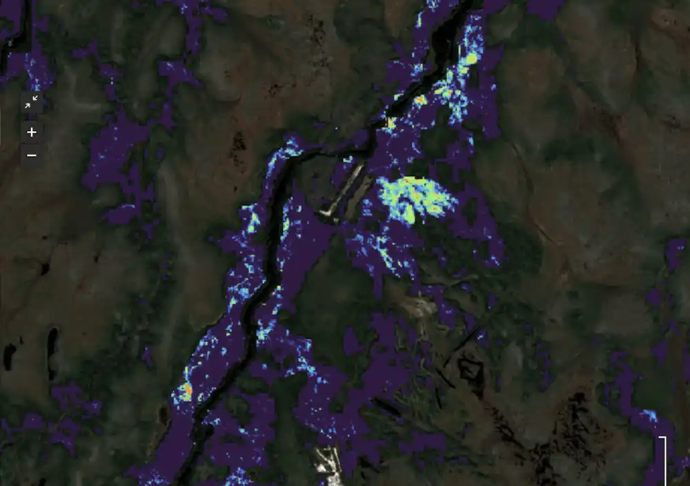
    The satellite layer that out-ranked the geophysics.

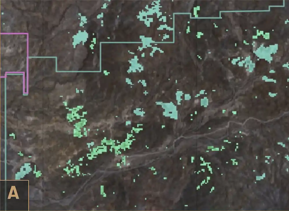
    An independent Regional Assessment of Mining Potential tested every available dataset against roughly 150,000 m of drill-hole assays and chose TerraEye's Metal-Stressed Vegetation layer as the single best predictor of high-grade nickel. Ground it flagged was eighteen times more likely to carry nickel above 2%, and its strongest anomaly maps directly onto Eagle's Nest.

    Source: Srivastava, Lambden & Cizek · Regional Assessment of Mining Potential, March 31, 2026.
    • NI

    • CU

    • CO

    Kuniko

    Norway · with EUSPA

    Bare Earth Composite • Spectral mapping • Field validation

    Targets under dense forest, confirmed on the ground.

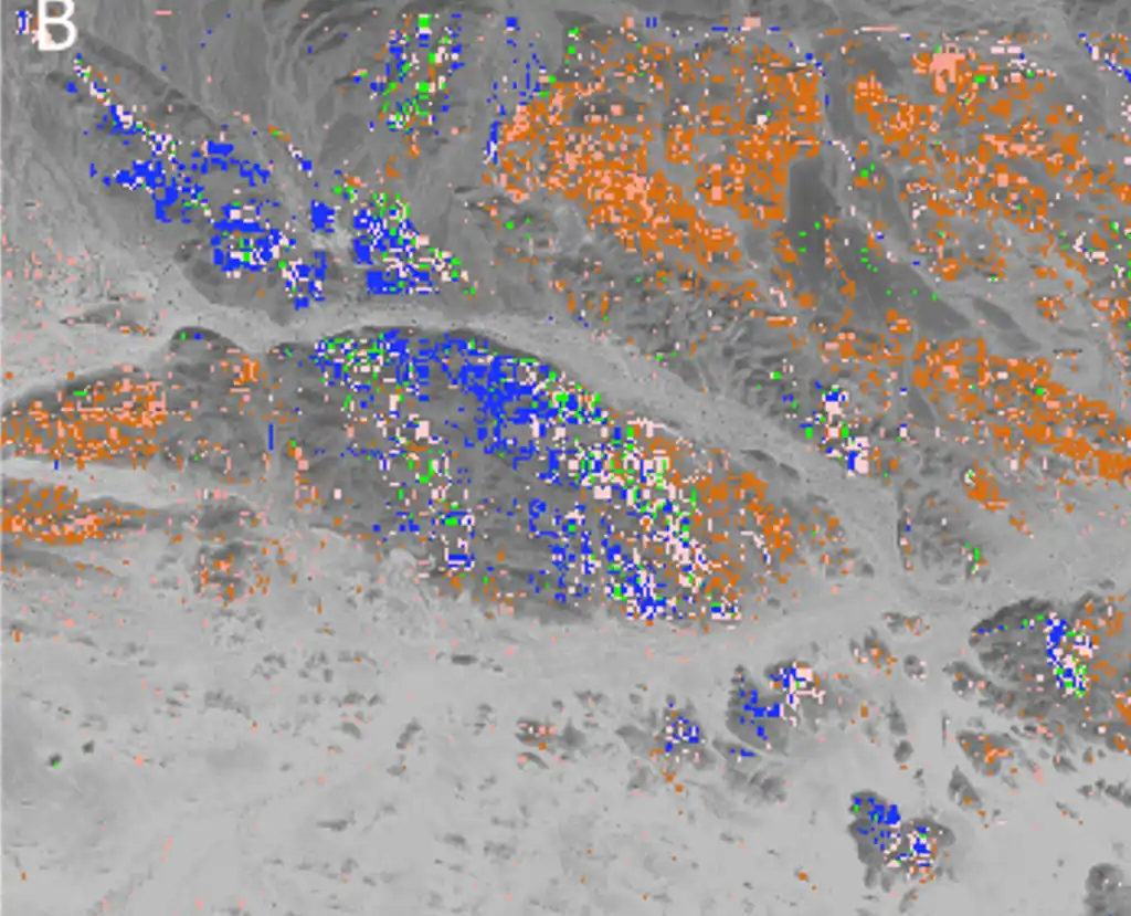
    Our Bare Earth Composite picked out the patches of exposed soil scattered through the forest, and follow-up soil sampling confirmed iron-mineralization where we had mapped it. Published with EUSPA.

    • AU

    Colibri

    Sonora · Mexico

    4 satellite missions fused • Client magnetics + geochem • Ranked, explainable targets

    Ten ranked gold targets across a 1,481 km² property.

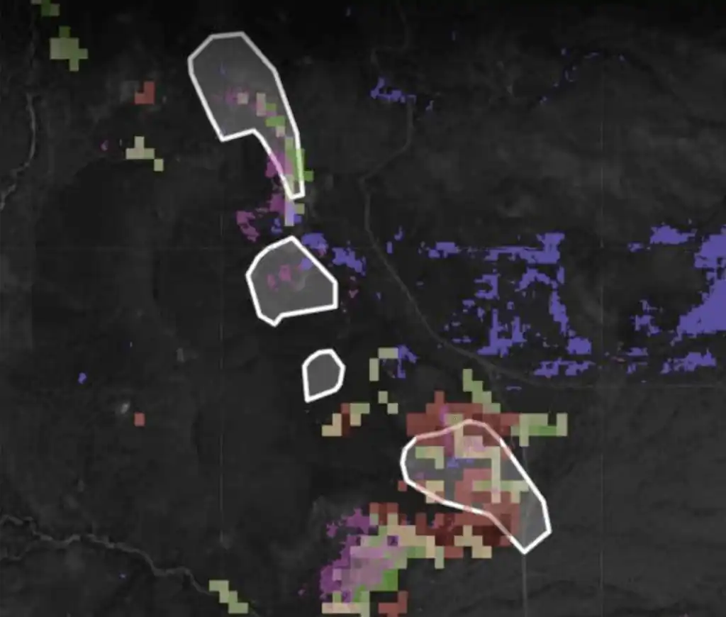
    Colibri asked TerraEye one practical question: across a large, partly alluvium-covered property, where is it worth spending the next exploration dollar? TerraEye fused four satellite missions with the client's magnetics, two decades of surface geochemistry and historical mapping, and delivered ten priority targets, each with a written rationale, a confidence read-out and GIS-ready geometry.

    • AG

    • AU

    Umm Hadid

    Kuya Silver · Rakbah Plain, Saudi Arabia

    Multispectral + hyperspectral fusion • AI structural targeting • Drill-confirmed

    A blank-slate licence, drilled and confirmed high-grade.

    Working entirely from orbit, TerraEye built an independent targeting layer for Umm Hadid, fusing multispectral, hyperspectral and high-resolution satellite data with AI to turn a large, lightly-mapped licence into a short list of structural corridors worth testing on the ground. The operator's maiden 5,000-metre drill programme then tested those corridors and hit high-grade silver and gold from near surface. Kuya Silver publicly credited the combination of hyperspectral imaging and AI-led targeting for the result.

    • AG

    • CU

    Corral Copper

    Arizona, USA · public data

    Iron-oxide indices • SAM clay mapping • Drill-target back-test

    Spectral anomalies that matched the drilling.

    Run entirely on public data, TerraEye's iron-oxide and clay indices lined up with ground that had already been drilled, then pointed to new ground with the same signature, worth testing next.

Know where to look before you spend.

Try it on a piece of your own project, or book a demo and we will run it with you.