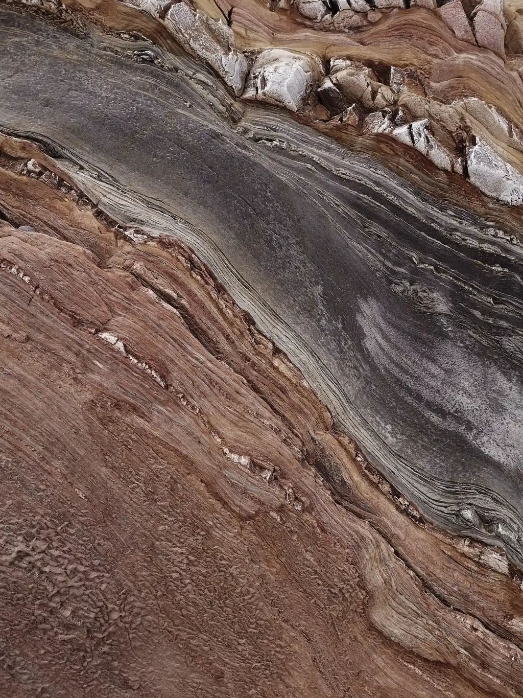
Aston Bay and TerraEye begin copper-lead-zinc surface mapping at Epworth.
Ahead of an imminent field campaign in remote Arctic Nunavut, TerraEye's satellite spectral analysis will define outcrops and focus Aston Bay's ground crews on the most prospective ground.
Aston Bay Holdings (TSX-V: BAY | OTCQB: ATBHF) and TerraEye have launched a remote sensing project aimed at identifying exposed geological features and surface mineral indicators associated with copper-silver-lead-zinc mineralization across Aston Bay's Epworth Project area.
To make the upcoming field program count, the two companies chose to map the surface from orbit first: TerraEye's satellite analysis will build a high-confidence picture of where outcrops and copper-lead-zinc indicators occur, so that Aston Bay's ground crews can head straight to the ground that matters.
“With crews heading north shortly, we want to focus our exploration of this very large mineralized belt. TerraEye's analysis maps the outcrops and copper-silver-lead-zinc indicators from orbit, so our team can spend the short Arctic season on the ground most likely to deliver.”
Thomas Ullrich · CEO, Aston Bay Holdings
The challenge
Aston Bay's exploration ground lies in Nunavut, in the Canadian Arctic — district-scale terrain that is remote and accessible only through a narrow summer window. Mobilizing and supplying field teams there is logistically demanding and expensive, and the season for productive ground work is short. With crews due to be deployed this summer, searching a district-scale licence without clearly defined targets would risk spending much of that short, costly season on low-value reconnaissance.
“It's easy to produce impressive results over bare desert rock — wide outcrops, clean spectra, ideal conditions. That's not where the value is. The ground that decides an exploration season is the hard ground: the Arctic, surfaces under vegetation and snow, areas with little prior data. Epworth is exactly that, and it's exactly where putting a crew on the right outcrop is worth the most. I push my team to deliver our best work where it's hardest to produce — because a short northern season leaves no room for reconnaissance that goes nowhere.”
Marek Wilgucki · CEO, TerraEye
The work
Using satellite spectral analysis, TerraEye will investigate the project area to identify exposed geological surfaces and map locations that share spectral characteristics with known mineralized occurrences. The first phase focuses on outcrop detection and spectral analysis, including:
Sentinel-2 Bare Earth Composite generation to identify vegetation-free ground from multiple years of satellite observations.
Advanced ASTER data masking to remove vegetation, snow and ice and reduce the risk of false-positive interpretations.
Spectral Similarity Analysis (SSA) using selected reference outcrops provided by Aston Bay.
Generation of outcrop maps highlighting areas with spectral characteristics similar to known mineralized occurrences.
The objective of this phase is to establish a reliable understanding of exposed geological features across the project area and identify locations warranting further investigation.
What happens next
Following completion of the initial outcrop mapping, Aston Bay and TerraEye will evaluate the results together and identify the areas that warrant closer investigation. The next stage will focus on understanding the mineral composition and alteration patterns within the identified outcrops, helping to build a more detailed geological picture of the project area.
Looking ahead
By narrowing a remote, district-scale area to a tightly defined set of high-confidence priority zones, the program lets Aston Bay focus its imminent field campaign and its budget where it counts. The aim is groundwork that is faster, lower-cost, and more likely to deliver — with the short Arctic field season spent on the most prospective outcrops rather than on broad reconnaissance. Aston Bay and TerraEye will share the results in a technical case study that documents the methodology, findings and exploration outcomes.
About Aston Bay Holdings
Aston Bay Holdings Ltd. (TSX-V: BAY | OTCQB: ATBHF) is a Canadian mineral exploration company focused on copper and critical minerals.
The Company is advancing the Storm Copper Project in Nunavut — a district-scale discovery featuring near-surface high-grade copper mineralization and significant exploration upside — and the wholly owned Epworth Project, a large-scale copper-zinc-silver exploration district with multiple emerging targets. Aston Bay's strategy combines high-impact exploration, strategic partnerships and disciplined project advancement.
About TerraEye
TerraEye helps mineral explorers know where to look before they spend. The platform brings satellite spectral analysis, structural interpretation, geophysics and geochemistry into a single targeting workflow, turning large, under-explored licences into a ranked set of high-confidence priority zones before crews mobilize.
It is built for the terrain where exploration is hardest — remote, vegetated, snow- and ice-covered, and short on prior data. Based in Wrocław, Poland, TerraEye works with mineral exploration and mining companies internationally.
Note
Publication content approved by the client (Aston Bay). Project descriptions and listings are sourced from Aston Bay Holdings and should be read together with the Company's own disclosures.